Parkhill Square
Introduction
The photograph on this page of Parkhill Square by Thomas Nugent as part of the Geograph project.
The Geograph project started in 2005 with the aim of publishing, organising and preserving representative images for every square kilometre of Great Britain, Ireland and the Isle of Man.

There are currently over 7.5m images from over 14,400 individuals and you can help contribute to the project by visiting https://www.geograph.org.uk
Parkhill Square
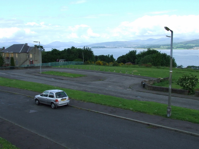
Image: © Thomas Nugent Taken: 6 Jun 2008
The square was once a main bus terminal, surrounded by houses. It's a similar story down the hill at Woodhall Square Image
Images are licensed for reuse under creativecommons.org/licenses/by-sa/2.0
Image Location


Leaflet Map data © OpenStreetMap
Latitude
55.927777
Longitude
-4.647642