Field at Pladda Avenue
Introduction
The photograph on this page of Field at Pladda Avenue by Thomas Nugent as part of the Geograph project.
The Geograph project started in 2005 with the aim of publishing, organising and preserving representative images for every square kilometre of Great Britain, Ireland and the Isle of Man.

There are currently over 7.5m images from over 14,400 individuals and you can help contribute to the project by visiting https://www.geograph.org.uk
Field at Pladda Avenue
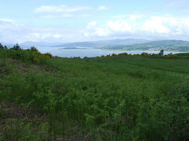
Image: © Thomas Nugent Taken: 6 Jun 2008
This was once grazing land for dairy cows from Parkhill Farm, but now appears to be derelict. Ardmore Peninsula, the Firth of Clyde and Cardross can be seen in the distance.
Images are licensed for reuse under creativecommons.org/licenses/by-sa/2.0
Image Location
Latitude
55.924069
Longitude
-4.644507