The Downslink
Introduction
The photograph on this page of The Downslink by Colin Smith as part of the Geograph project.
The Geograph project started in 2005 with the aim of publishing, organising and preserving representative images for every square kilometre of Great Britain, Ireland and the Isle of Man.

There are currently over 7.5m images from over 14,400 individuals and you can help contribute to the project by visiting https://www.geograph.org.uk
The Downslink
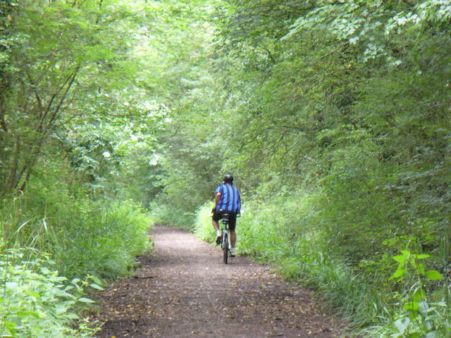
Image: © Colin Smith Taken: 13 Jun 2008
Cyclist on the long distance footpath between North and South Downs. This stretch west of Rudgwick follows the former Guildford-Horsham railway line which was open 1865-1965.
Images are licensed for reuse under creativecommons.org/licenses/by-sa/2.0
Image Location
Latitude
51.096736
Longitude
-0.456761