Former chapel, Brierfield
Introduction
The photograph on this page of Former chapel, Brierfield by Dr Neil Clifton as part of the Geograph project.
The Geograph project started in 2005 with the aim of publishing, organising and preserving representative images for every square kilometre of Great Britain, Ireland and the Isle of Man.

There are currently over 7.5m images from over 14,400 individuals and you can help contribute to the project by visiting https://www.geograph.org.uk
Former chapel, Brierfield
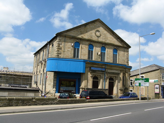
Image: © Dr Neil Clifton Taken: 9 Jun 2008
Now in use as a gym. This building is very similar in size and style to the Methodist Church about 200 yards along the road on the same side.
Images are licensed for reuse under creativecommons.org/licenses/by-sa/2.0
Image Location


Leaflet Map data © OpenStreetMap
Latitude
53.823101
Longitude
-2.235118