Farmland below Brown Clee
Introduction
The photograph on this page of Farmland below Brown Clee by Richard Webb as part of the Geograph project.
The Geograph project started in 2005 with the aim of publishing, organising and preserving representative images for every square kilometre of Great Britain, Ireland and the Isle of Man.

There are currently over 7.5m images from over 14,400 individuals and you can help contribute to the project by visiting https://www.geograph.org.uk
Farmland below Brown Clee
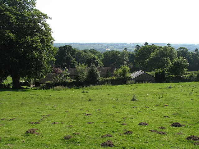
Image: © Richard Webb Taken: 8 Jun 2008
View over the hedge from parkland beneath the Brown Clee. The moles have been busy.
Images are licensed for reuse under creativecommons.org/licenses/by-sa/2.0
Image Location
Latitude
52.477642
Longitude
-2.574168