Cut Fence by Bridlepath
Introduction
The photograph on this page of Cut Fence by Bridlepath by David Lally as part of the Geograph project.
The Geograph project started in 2005 with the aim of publishing, organising and preserving representative images for every square kilometre of Great Britain, Ireland and the Isle of Man.

There are currently over 7.5m images from over 14,400 individuals and you can help contribute to the project by visiting https://www.geograph.org.uk
Cut Fence by Bridlepath
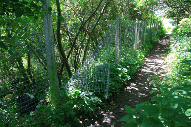
Image: © David Lally Taken: 9 Jun 2008
It appears to have been cut to allow fly-tipping on the railway embankment.
Images are licensed for reuse under creativecommons.org/licenses/by-sa/2.0
Image Location
Latitude
52.955975
Longitude
-1.232469