Wych Brook - three counties (and two countries) join
Introduction
The photograph on this page of Wych Brook - three counties (and two countries) join by Mike Harris as part of the Geograph project.
The Geograph project started in 2005 with the aim of publishing, organising and preserving representative images for every square kilometre of Great Britain, Ireland and the Isle of Man.

There are currently over 7.5m images from over 14,400 individuals and you can help contribute to the project by visiting https://www.geograph.org.uk
Wych Brook - three counties (and two countries) join
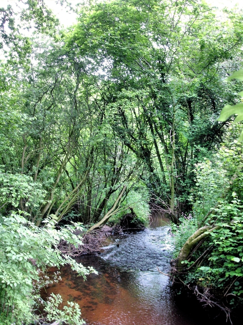
Image: © Mike Harris Taken: 1 Jun 2008
Bronington (Wales) / Whitchurch (Shropshire) / Agden (Cheshire) - view from the Maelor Way. Looking upstream along Wych Brook from the footbridge at its confluence with Red Brook to form Grindley Brook. This is the junction of Wales, Shropshire and Cheshire.
Images are licensed for reuse under creativecommons.org/licenses/by-sa/2.0
Image Location


Leaflet Map data © OpenStreetMap
Latitude
52.983286
Longitude
-2.726822