Junction of Tangier Lane with Siskin Close
Introduction
The photograph on this page of Junction of Tangier Lane with Siskin Close by Peter Facey as part of the Geograph project.
The Geograph project started in 2005 with the aim of publishing, organising and preserving representative images for every square kilometre of Great Britain, Ireland and the Isle of Man.

There are currently over 7.5m images from over 14,400 individuals and you can help contribute to the project by visiting https://www.geograph.org.uk
Junction of Tangier Lane with Siskin Close
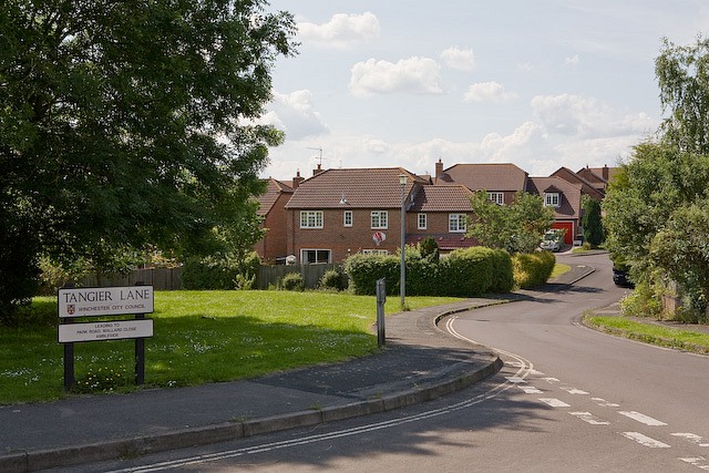
Image: © Peter Facey Taken: 6 Jun 2008
Siskin Close is fairly new housing; Tangier Lane is much older and affords access to Tangier Farm.
Images are licensed for reuse under creativecommons.org/licenses/by-sa/2.0
Image Location
Latitude
50.956087
Longitude
-1.227996