B4432 heading for Hillersland
Introduction
The photograph on this page of B4432 heading for Hillersland by Pauline E as part of the Geograph project.
The Geograph project started in 2005 with the aim of publishing, organising and preserving representative images for every square kilometre of Great Britain, Ireland and the Isle of Man.

There are currently over 7.5m images from over 14,400 individuals and you can help contribute to the project by visiting https://www.geograph.org.uk
B4432 heading for Hillersland
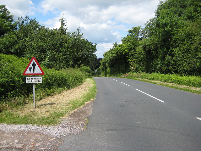
Image: © Pauline E Taken: 12 Jun 2008
And then to Symonds Yat Rock.
Images are licensed for reuse under creativecommons.org/licenses/by-sa/2.0
Image Location


Leaflet Map data © OpenStreetMap
Latitude
51.81837
Longitude
-2.625518