Collett's Green - King Charles Avenue
Introduction
The photograph on this page of Collett's Green - King Charles Avenue by Peter Whatley as part of the Geograph project.
The Geograph project started in 2005 with the aim of publishing, organising and preserving representative images for every square kilometre of Great Britain, Ireland and the Isle of Man.

There are currently over 7.5m images from over 14,400 individuals and you can help contribute to the project by visiting https://www.geograph.org.uk
Collett's Green - King Charles Avenue
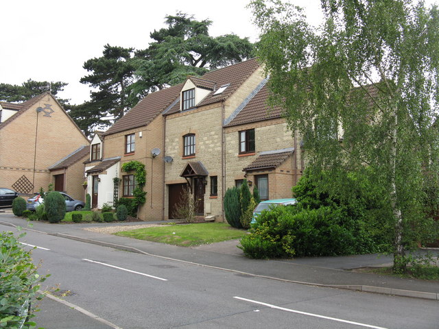
Image: © Peter Whatley Taken: 12 Jun 2008
Modern terrace of housing crafted to have an old village appearnce. Somewhat given away by the presence of modern houses on either side and a profusion of satellite dishes.
Images are licensed for reuse under creativecommons.org/licenses/by-sa/2.0
Image Location
Latitude
52.155725
Longitude
-2.26262