Gateway to Warleigh House
Introduction
The photograph on this page of Gateway to Warleigh House by Tony Atkin as part of the Geograph project.
The Geograph project started in 2005 with the aim of publishing, organising and preserving representative images for every square kilometre of Great Britain, Ireland and the Isle of Man.

There are currently over 7.5m images from over 14,400 individuals and you can help contribute to the project by visiting https://www.geograph.org.uk
Gateway to Warleigh House
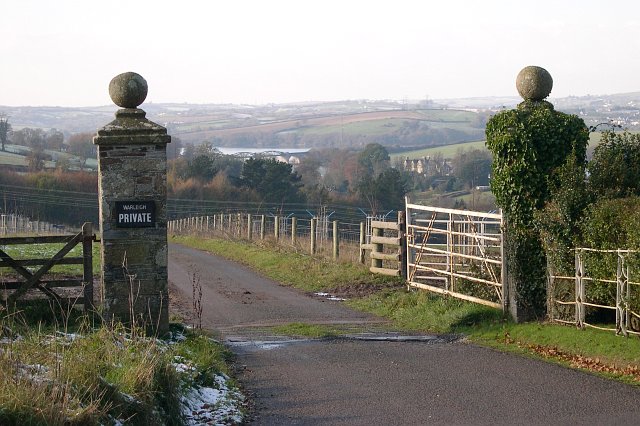
Image: © Tony Atkin Taken: 26 Nov 2005
Situated by a gatehouse, Warleigh Lodge, these gates mark the start of a driveway to Warleigh House, over a kilometre away. This photograph looks west across the grid square towards the house and the River Tamar.
Images are licensed for reuse under creativecommons.org/licenses/by-sa/2.0
Image Location


Leaflet Map data © OpenStreetMap
Latitude
50.433336
Longitude
-4.157093