Culvert under ruined mill, Cragg Vale, Mytholmroyd
Introduction
The photograph on this page of Culvert under ruined mill, Cragg Vale, Mytholmroyd by Humphrey Bolton as part of the Geograph project.
The Geograph project started in 2005 with the aim of publishing, organising and preserving representative images for every square kilometre of Great Britain, Ireland and the Isle of Man.

There are currently over 7.5m images from over 14,400 individuals and you can help contribute to the project by visiting https://www.geograph.org.uk
Culvert under ruined mill, Cragg Vale, Mytholmroyd
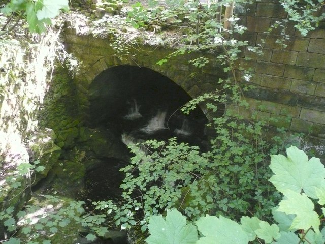
Image: © Humphrey Bolton Taken: 8 Jun 2008
This is the downstream end of the ruined Paper Mill, which was one of the Greenwood family's cotton mills that was presumably used as a paper mill at one time.
Images are licensed for reuse under creativecommons.org/licenses/by-sa/2.0
Image Location
Latitude
53.709723
Longitude
-1.993903