Ladyburn
Introduction
The photograph on this page of Ladyburn by Thomas Nugent as part of the Geograph project.
The Geograph project started in 2005 with the aim of publishing, organising and preserving representative images for every square kilometre of Great Britain, Ireland and the Isle of Man.

There are currently over 7.5m images from over 14,400 individuals and you can help contribute to the project by visiting https://www.geograph.org.uk
Ladyburn
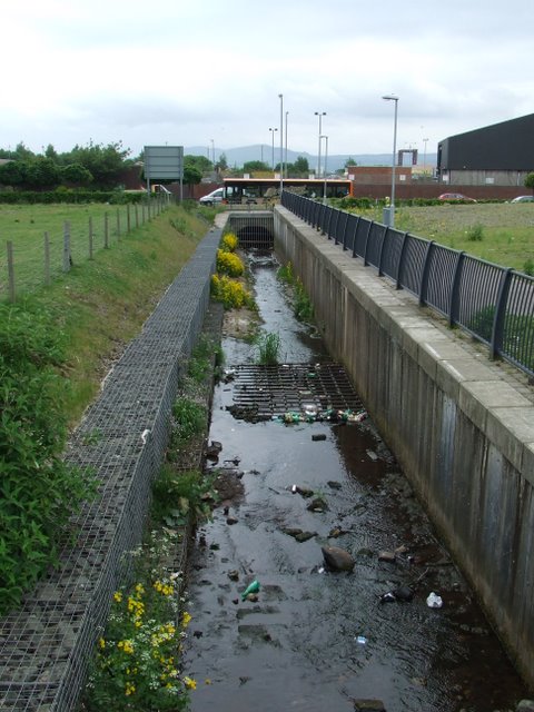
Image: © Thomas Nugent Taken: 5 Jun 2008
Recent ground clearance work has resulted in the Ladyburn being exposed after many years crammed between industrial buildings. The culvert runs under the A8 dual carriageway.
Images are licensed for reuse under creativecommons.org/licenses/by-sa/2.0
Image Location


Leaflet Map data © OpenStreetMap
Latitude
55.940443
Longitude
-4.722177