Beverley Road (A1079)
Introduction
The photograph on this page of Beverley Road (A1079) by Peter Church as part of the Geograph project.
The Geograph project started in 2005 with the aim of publishing, organising and preserving representative images for every square kilometre of Great Britain, Ireland and the Isle of Man.

There are currently over 7.5m images from over 14,400 individuals and you can help contribute to the project by visiting https://www.geograph.org.uk
Beverley Road (A1079)
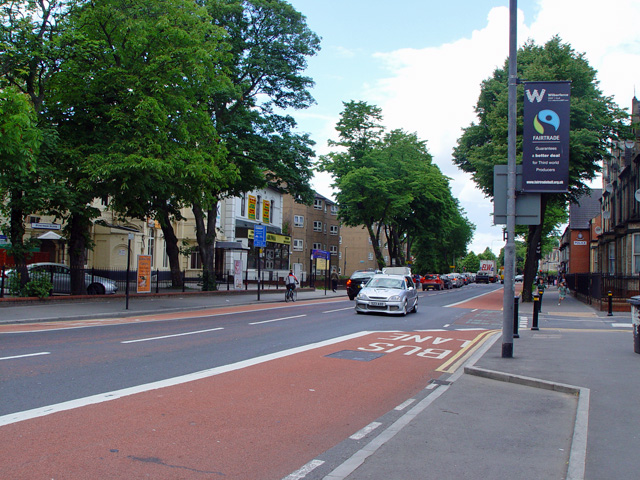
Image: © Peter Church Taken: 11 Jun 2008
This is a north-south arterial route in Hull, and local people refer to the most southern point as "the top of Bev. Road". The view here is north and on the opposite side of the road from the Pearson Avenue junction. A Fairtrade City (http://www.fairtradehull.org ) lamppost banner is noted.
Images are licensed for reuse under creativecommons.org/licenses/by-sa/2.0
Image Location
Latitude
53.760563
Longitude
-0.349586