Wheatfield, hayfield and woods
Introduction
The photograph on this page of Wheatfield, hayfield and woods by Nigel Mykura as part of the Geograph project.
The Geograph project started in 2005 with the aim of publishing, organising and preserving representative images for every square kilometre of Great Britain, Ireland and the Isle of Man.

There are currently over 7.5m images from over 14,400 individuals and you can help contribute to the project by visiting https://www.geograph.org.uk
Wheatfield, hayfield and woods
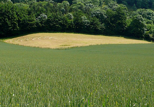
Image: © Nigel Mykura Taken: 10 Jun 2008
The wheat is green, the woods yet darker green, and the hay stubble almost gold in this view from near the B3151 looking E towards New Hill just S of Compton Dundon.
Images are licensed for reuse under creativecommons.org/licenses/by-sa/2.0
Image Location
Latitude
51.080774
Longitude
-2.721012