Goatacre Lane, Goatacre
Introduction
The photograph on this page of Goatacre Lane, Goatacre by Brian Robert Marshall as part of the Geograph project.
The Geograph project started in 2005 with the aim of publishing, organising and preserving representative images for every square kilometre of Great Britain, Ireland and the Isle of Man.

There are currently over 7.5m images from over 14,400 individuals and you can help contribute to the project by visiting https://www.geograph.org.uk
Goatacre Lane, Goatacre
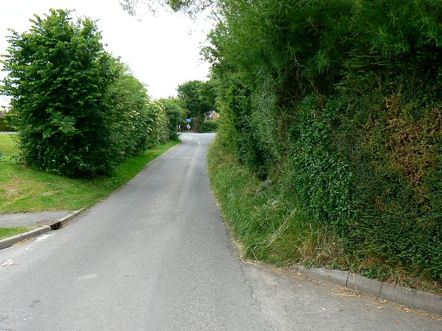
Image: © Brian Robert Marshall Taken: 10 Jun 2008
The lane is seen heading north-west to a 'T' junction where it meets the A3102 between Lyneham and Calne. Turn left for Calne.
Images are licensed for reuse under creativecommons.org/licenses/by-sa/2.0
Image Location


Leaflet Map data © OpenStreetMap
Latitude
51.493292
Longitude
-1.977481