The B 4421 at Llangaffo
Introduction
The photograph on this page of The B 4421 at Llangaffo by Eric Jones as part of the Geograph project.
The Geograph project started in 2005 with the aim of publishing, organising and preserving representative images for every square kilometre of Great Britain, Ireland and the Isle of Man.

There are currently over 7.5m images from over 14,400 individuals and you can help contribute to the project by visiting https://www.geograph.org.uk
The B 4421 at Llangaffo
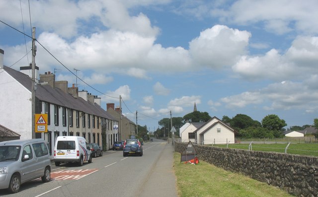
Image: © Eric Jones Taken: 7 Jun 2008
The white building on the right is the village primary school. It is a Church in Wales (Anglican) Voluntary Aided School. http://www.llangaffo.anglesey.sch.uk/index.htm
Images are licensed for reuse under creativecommons.org/licenses/by-sa/2.0
Image Location


Leaflet Map data © OpenStreetMap
Latitude
53.190345
Longitude
-4.328745