Ladywell station approach
Introduction
The photograph on this page of Ladywell station approach by Stephen Craven as part of the Geograph project.
The Geograph project started in 2005 with the aim of publishing, organising and preserving representative images for every square kilometre of Great Britain, Ireland and the Isle of Man.

There are currently over 7.5m images from over 14,400 individuals and you can help contribute to the project by visiting https://www.geograph.org.uk
Ladywell station approach
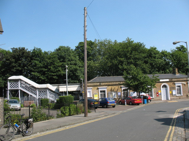
Image: © Stephen Craven Taken: 8 Jun 2008
The photo from the top of the station approach road shows the pedestrian footbridge at left and the station buildings at right.
Images are licensed for reuse under creativecommons.org/licenses/by-sa/2.0
Image Location
Latitude
51.45598
Longitude
-0.019484