Patcham: Braeside Avenue (1)
Introduction
The photograph on this page of Patcham: Braeside Avenue (1) by Nigel Cox as part of the Geograph project.
The Geograph project started in 2005 with the aim of publishing, organising and preserving representative images for every square kilometre of Great Britain, Ireland and the Isle of Man.

There are currently over 7.5m images from over 14,400 individuals and you can help contribute to the project by visiting https://www.geograph.org.uk
Patcham: Braeside Avenue (1)
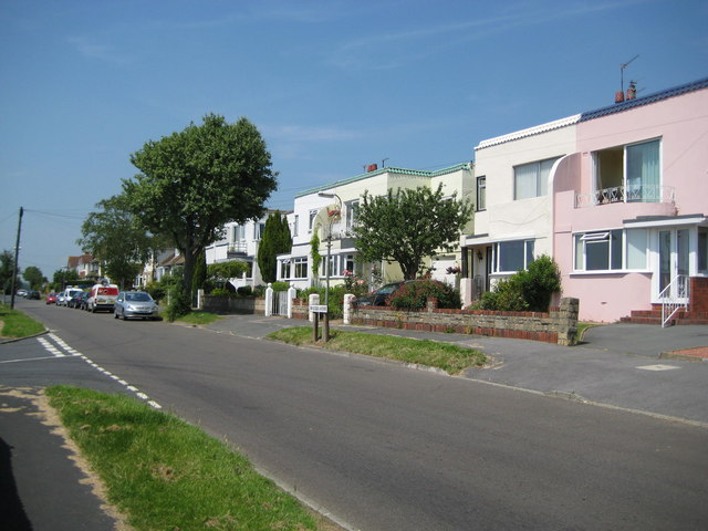
Image: © Nigel Cox Taken: 8 Jun 2008
These houses in Braeside Avenue were built in the 1930s and, the A27 dual carriageway aside, still represent the northernmost incursion of the built-up area of Brighton into the South Downs in this area.
Images are licensed for reuse under creativecommons.org/licenses/by-sa/2.0
Image Location
Latitude
50.868324
Longitude
-0.136874