Robin Hood Way in a cornfield
Introduction
The photograph on this page of Robin Hood Way in a cornfield by Alan Murray-Rust as part of the Geograph project.
The Geograph project started in 2005 with the aim of publishing, organising and preserving representative images for every square kilometre of Great Britain, Ireland and the Isle of Man.

There are currently over 7.5m images from over 14,400 individuals and you can help contribute to the project by visiting https://www.geograph.org.uk
Robin Hood Way in a cornfield
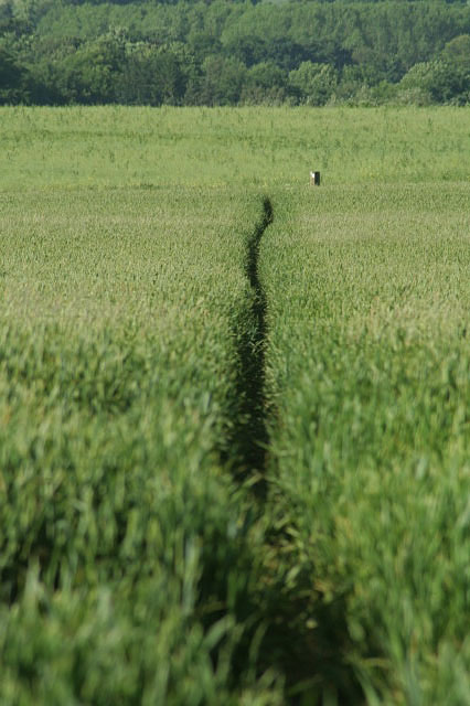
Image: © Alan Murray-Rust Taken: 9 Jun 2008
Beyond the marker, the crop changes to rape; it was easier to come via Crink Lane than across the fields!
Images are licensed for reuse under creativecommons.org/licenses/by-sa/2.0
Image Location
Latitude
53.068294
Longitude
-0.95467