
Chelsea Boys School (former), SW10
Introduction
The photograph on this page of Chelsea Boys School (former), SW10 by Phillip Perry as part of the Geograph project.
The Geograph project started in 2005 with the aim of publishing, organising and preserving representative images for every square kilometre of Great Britain, Ireland and the Isle of Man.

There are currently over 7.5m images from over 14,400 individuals and you can help contribute to the project by visiting https://www.geograph.org.uk
Chelsea Boys School (former), SW10
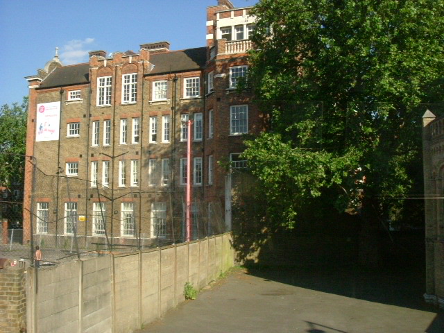
Image: © Phillip Perry Taken: 10 Jun 2008
This is one of 3 playgrounds that were part of Chelsea Boys School, Hortensia Road, West Brompton, SW10 (1972-1982). There were 2 schools next to each other and when they merged in '72 it created a bigger 1 site school. This end (The Sloane Building) is now a further education college, however the playground has been sold to make way for a 12 or 14 flat apartment block hence the submission. Taken from the top deck at speed of a route 211 bus.
Images are licensed for reuse under creativecommons.org/licenses/by-sa/2.0
Image Location

Latitude
51.482413
Longitude
-0.185839