Path from Westgate
Introduction
The photograph on this page of Path from Westgate by Alan Murray-Rust as part of the Geograph project.
The Geograph project started in 2005 with the aim of publishing, organising and preserving representative images for every square kilometre of Great Britain, Ireland and the Isle of Man.

There are currently over 7.5m images from over 14,400 individuals and you can help contribute to the project by visiting https://www.geograph.org.uk
Path from Westgate
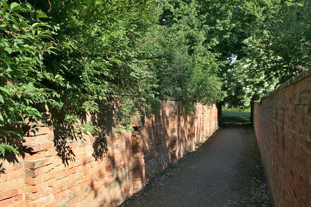
Image: © Alan Murray-Rust Taken: 9 Jun 2008
Southwell has an extensive network of what clearly used to be field paths which have survived in the urban development. This one leads from Westgate down to the park.
Images are licensed for reuse under creativecommons.org/licenses/by-sa/2.0
Image Location
Latitude
53.075499
Longitude
-0.956138