Cross Roads in Goostrey
Introduction
The photograph on this page of Cross Roads in Goostrey by Ian Warburton as part of the Geograph project.
The Geograph project started in 2005 with the aim of publishing, organising and preserving representative images for every square kilometre of Great Britain, Ireland and the Isle of Man.

There are currently over 7.5m images from over 14,400 individuals and you can help contribute to the project by visiting https://www.geograph.org.uk
Cross Roads in Goostrey
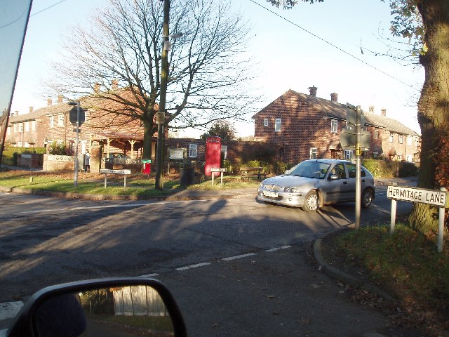
Image: © Ian Warburton Taken: 25 Nov 2005
West of Goostrey centre where Booth Bed Lane & Hermitage Lane meet Main Road
Images are licensed for reuse under creativecommons.org/licenses/by-sa/2.0
Image Location


Leaflet Map data © OpenStreetMap
Latitude
53.225615
Longitude
-2.354953