Shady Lane, seen from . . .
Introduction
The photograph on this page of Shady Lane, seen from . . . by Alan Murray-Rust as part of the Geograph project.
The Geograph project started in 2005 with the aim of publishing, organising and preserving representative images for every square kilometre of Great Britain, Ireland and the Isle of Man.

There are currently over 7.5m images from over 14,400 individuals and you can help contribute to the project by visiting https://www.geograph.org.uk
Shady Lane, seen from . . .
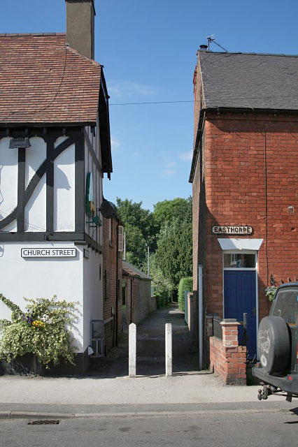
Image: © Alan Murray-Rust Taken: 9 Jun 2008
. . . is it Church Street or Easthorpe? This ancient way marks the boundary between the centre of Southwell and Easthorpe, its eastern suburb. The name Easthorpe apples equally to street and district.
Images are licensed for reuse under creativecommons.org/licenses/by-sa/2.0
Image Location
Latitude
53.076506
Longitude
-0.948052