Roadside on the road to Brow Top
Introduction
The photograph on this page of Roadside on the road to Brow Top by Stephen McCulloch as part of the Geograph project.
The Geograph project started in 2005 with the aim of publishing, organising and preserving representative images for every square kilometre of Great Britain, Ireland and the Isle of Man.

There are currently over 7.5m images from over 14,400 individuals and you can help contribute to the project by visiting https://www.geograph.org.uk
Roadside on the road to Brow Top
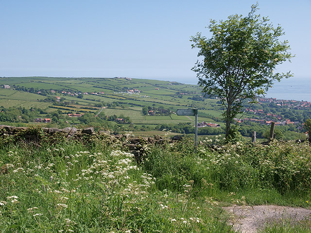
Image: © Stephen McCulloch Taken: 9 Jun 2008
With views to Robin Hood's Bay and Raw villages. Taken from opposite Thornfields Farm.
Images are licensed for reuse under creativecommons.org/licenses/by-sa/2.0
Image Location


Leaflet Map data © OpenStreetMap
Latitude
54.428456
Longitude
-0.563343