Haydock Park Farm
Introduction
The photograph on this page of Haydock Park Farm by David Long as part of the Geograph project.
The Geograph project started in 2005 with the aim of publishing, organising and preserving representative images for every square kilometre of Great Britain, Ireland and the Isle of Man.

There are currently over 7.5m images from over 14,400 individuals and you can help contribute to the project by visiting https://www.geograph.org.uk
Haydock Park Farm
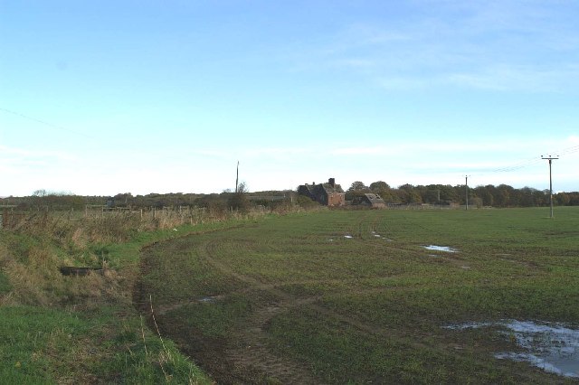
Image: © David Long Taken: 25 Nov 2005
This building is very visible south of the M6 & A580 junction. The listed farmhouse appears to have had its roof deliberately dismantled.
Images are licensed for reuse under creativecommons.org/licenses/by-sa/2.0
Image Location
Latitude
53.468991
Longitude
-2.626633