The Old Chacewater Station
Introduction
The photograph on this page of The Old Chacewater Station by Tony Atkin as part of the Geograph project.
The Geograph project started in 2005 with the aim of publishing, organising and preserving representative images for every square kilometre of Great Britain, Ireland and the Isle of Man.

There are currently over 7.5m images from over 14,400 individuals and you can help contribute to the project by visiting https://www.geograph.org.uk
The Old Chacewater Station
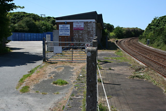
Image: © Tony Atkin Taken: 7 Jun 2008
The Penzance bound platform still survives although the station is unused. It used to be the start of the Perranporth branch line until it was closed in 1963 when this station was also closed to passenger traffic.
Images are licensed for reuse under creativecommons.org/licenses/by-sa/2.0
Image Location


Leaflet Map data © OpenStreetMap
Latitude
50.263681
Longitude
-5.169872