Ensbury Park: Boundary Road
Introduction
The photograph on this page of Ensbury Park: Boundary Road by Chris Downer as part of the Geograph project.
The Geograph project started in 2005 with the aim of publishing, organising and preserving representative images for every square kilometre of Great Britain, Ireland and the Isle of Man.

There are currently over 7.5m images from over 14,400 individuals and you can help contribute to the project by visiting https://www.geograph.org.uk
Ensbury Park: Boundary Road
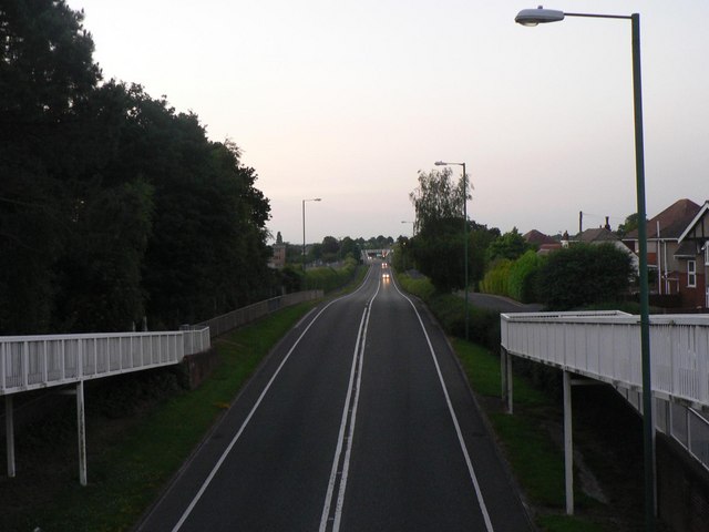
Image: © Chris Downer Taken: 9 Jun 2008
This road, unmade till the late 80s, marks the historical boundary between Hampshire and Dorset until 1904, when the area west of here was transferred from Poole to Bournemouth and, therefore, Dorset to Hampshire. Then, in 1974, that area returned to Dorset, along with the rest of Bournemouth. This is now the A347, which used to run up the main shopping street in Winton, Wimborne Road, providing much needed relief for the latter.
Images are licensed for reuse under creativecommons.org/licenses/by-sa/2.0
Image Location


Leaflet Map data © OpenStreetMap
Latitude
50.744833
Longitude
-1.888972