West Coker High Street
Introduction
The photograph on this page of West Coker High Street by John Barnes as part of the Geograph project.
The Geograph project started in 2005 with the aim of publishing, organising and preserving representative images for every square kilometre of Great Britain, Ireland and the Isle of Man.

There are currently over 7.5m images from over 14,400 individuals and you can help contribute to the project by visiting https://www.geograph.org.uk
West Coker High Street
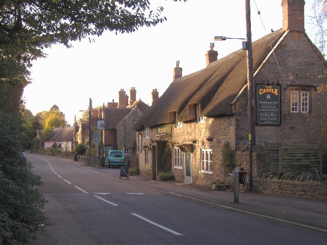
Image: © John Barnes Taken: 9 Nov 2001
West Coker High Street was once on the London to Penzance trunk road. Canvas was produced here for the Royal Navy and called Coker canvas.
Images are licensed for reuse under creativecommons.org/licenses/by-sa/2.0
Image Location


Leaflet Map data © OpenStreetMap
Latitude
50.918894
Longitude
-2.69418