Filton airfield
Introduction
The photograph on this page of Filton airfield by Phil Williams as part of the Geograph project.
The Geograph project started in 2005 with the aim of publishing, organising and preserving representative images for every square kilometre of Great Britain, Ireland and the Isle of Man.

There are currently over 7.5m images from over 14,400 individuals and you can help contribute to the project by visiting https://www.geograph.org.uk
Filton airfield
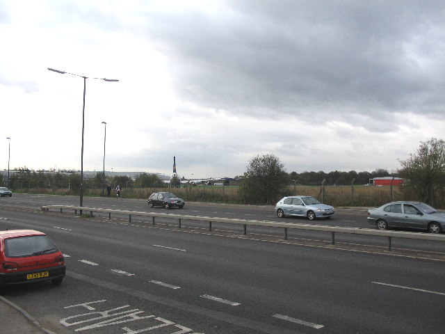
Image: © Phil Williams Taken: 24 Nov 2005
Looking west across the A38 to the northern end of the BAe airfield at Filton. The Boeing 747 is awaiting conversion to a freighter.
Images are licensed for reuse under creativecommons.org/licenses/by-sa/2.0
Image Location
Latitude
51.525616
Longitude
-2.572199