Cal Hill
Introduction
The photograph on this page of Cal Hill by Tony Atkin as part of the Geograph project.
The Geograph project started in 2005 with the aim of publishing, organising and preserving representative images for every square kilometre of Great Britain, Ireland and the Isle of Man.

There are currently over 7.5m images from over 14,400 individuals and you can help contribute to the project by visiting https://www.geograph.org.uk
Cal Hill
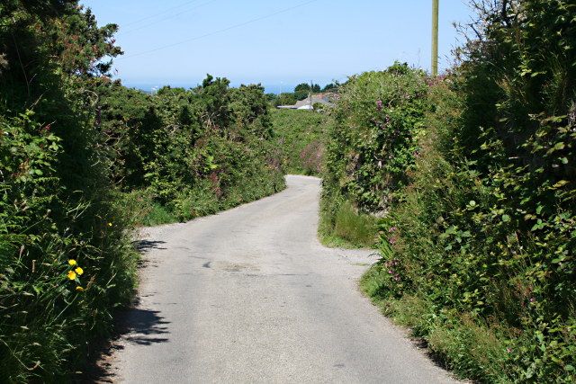
Image: © Tony Atkin Taken: 7 Jun 2008
Just to this east of the A393 which marks the eastern edge of Redruth this country road winds its way down the hillside.
Images are licensed for reuse under creativecommons.org/licenses/by-sa/2.0
Image Location
Latitude
50.229347
Longitude
-5.214573