Clifftop Penarth
Introduction
The photograph on this page of Clifftop Penarth by Colin Smith as part of the Geograph project.
The Geograph project started in 2005 with the aim of publishing, organising and preserving representative images for every square kilometre of Great Britain, Ireland and the Isle of Man.

There are currently over 7.5m images from over 14,400 individuals and you can help contribute to the project by visiting https://www.geograph.org.uk
Clifftop Penarth
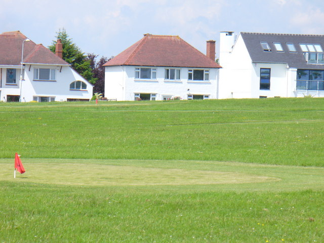
Image: © Colin Smith Taken: 7 Jun 2008
Houses on Plymouth Road overlooking the recreational lawns and the sea - by the Cliff Walk between Lavernock and Penarth.
Images are licensed for reuse under creativecommons.org/licenses/by-sa/2.0
Image Location
Latitude
51.425465
Longitude
-3.173598