Gloucester City Limits
Introduction
The photograph on this page of Gloucester City Limits by Bob Embleton as part of the Geograph project.
The Geograph project started in 2005 with the aim of publishing, organising and preserving representative images for every square kilometre of Great Britain, Ireland and the Isle of Man.

There are currently over 7.5m images from over 14,400 individuals and you can help contribute to the project by visiting https://www.geograph.org.uk
Gloucester City Limits
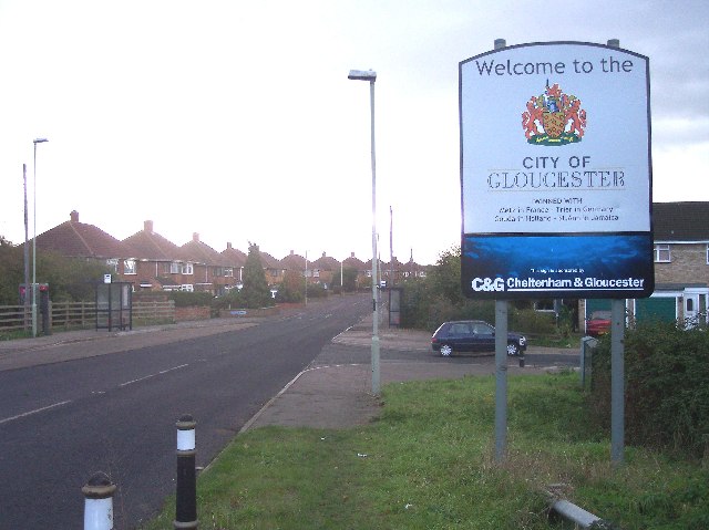
Image: © Bob Embleton Taken: 24 Nov 2005
In the middle of an urban area, but close to the A40(T) northern relief road which may be the current limit of the city.
Images are licensed for reuse under creativecommons.org/licenses/by-sa/2.0
Image Location


Leaflet Map data © OpenStreetMap
Latitude
51.883767
Longitude
-2.213522