Ringley Hills, Flamborough
Introduction
The photograph on this page of Ringley Hills, Flamborough by Paul Glazzard as part of the Geograph project.
The Geograph project started in 2005 with the aim of publishing, organising and preserving representative images for every square kilometre of Great Britain, Ireland and the Isle of Man.

There are currently over 7.5m images from over 14,400 individuals and you can help contribute to the project by visiting https://www.geograph.org.uk
Ringley Hills, Flamborough
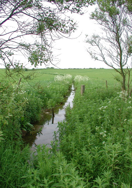
Image: © Paul Glazzard Taken: 4 Jun 2008
Field drain between Flamborough village and Seaways Farm at Ringley Hills, looking north-northeast from the footbridge on the public footpath between Stylefield Road and Lighthouse Road, Flamborough.
Images are licensed for reuse under creativecommons.org/licenses/by-sa/2.0
Image Location
Latitude
54.116174
Longitude
-0.117617