Carr Beck culvert
Introduction
The photograph on this page of Carr Beck culvert by John Illingworth as part of the Geograph project.
The Geograph project started in 2005 with the aim of publishing, organising and preserving representative images for every square kilometre of Great Britain, Ireland and the Isle of Man.

There are currently over 7.5m images from over 14,400 individuals and you can help contribute to the project by visiting https://www.geograph.org.uk
Carr Beck culvert
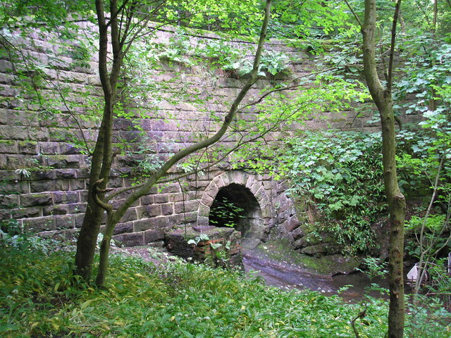
Image: © John Illingworth Taken: 7 Jun 2008
This beck forms the boundary between Bradford and Leeds for some distance and the Leeds Country Way follows it for a while. Here it flows through a deep culvert under the road which is about twice the height of the parapet above the stream.
Images are licensed for reuse under creativecommons.org/licenses/by-sa/2.0
Image Location


Leaflet Map data © OpenStreetMap
Latitude
53.828906
Longitude
-1.706739