Copster Green
Introduction
The photograph on this page of Copster Green by michael hardman as part of the Geograph project.
The Geograph project started in 2005 with the aim of publishing, organising and preserving representative images for every square kilometre of Great Britain, Ireland and the Isle of Man.

There are currently over 7.5m images from over 14,400 individuals and you can help contribute to the project by visiting https://www.geograph.org.uk
Copster Green
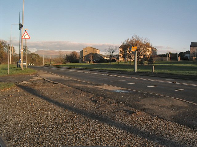
Image: © michael hardman Taken: 24 Nov 2005
The North end of Copster Green village with Pendle Hill behind. Note the traffic cameras on this stretch of the A59
Images are licensed for reuse under creativecommons.org/licenses/by-sa/2.0
Image Location


Leaflet Map data © OpenStreetMap
Latitude
53.802189
Longitude
-2.491904