Former Crossflatts Middle School - Micklethwaite Lane
Introduction
The photograph on this page of Former Crossflatts Middle School - Micklethwaite Lane by Betty Longbottom as part of the Geograph project.
The Geograph project started in 2005 with the aim of publishing, organising and preserving representative images for every square kilometre of Great Britain, Ireland and the Isle of Man.

There are currently over 7.5m images from over 14,400 individuals and you can help contribute to the project by visiting https://www.geograph.org.uk
Former Crossflatts Middle School - Micklethwaite Lane
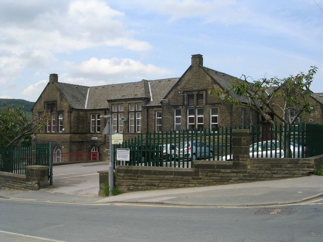
Image: © Betty Longbottom Taken: 6 Jun 2008
This is now used by Bradford Metropolitan District Council as part of their Traffic & Highways Department.
Images are licensed for reuse under creativecommons.org/licenses/by-sa/2.0
Image Location


Leaflet Map data © OpenStreetMap
Latitude
53.862149
Longitude
-1.844568