Hatfield Leisure Centre.
Introduction
The photograph on this page of Hatfield Leisure Centre. by Robin Hall as part of the Geograph project.
The Geograph project started in 2005 with the aim of publishing, organising and preserving representative images for every square kilometre of Great Britain, Ireland and the Isle of Man.

There are currently over 7.5m images from over 14,400 individuals and you can help contribute to the project by visiting https://www.geograph.org.uk
Hatfield Leisure Centre.
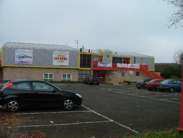
Image: © Robin Hall Taken: 23 Nov 2005
Marked as Oxlease Leisure Centre on the map but the sign on the front of the building refers to Hatfield LS.
Images are licensed for reuse under creativecommons.org/licenses/by-sa/2.0
Image Location
Latitude
51.750111
Longitude
-0.226852