Hatfield Fire and Rescue Station.
Introduction
The photograph on this page of Hatfield Fire and Rescue Station. by Robin Hall as part of the Geograph project.
The Geograph project started in 2005 with the aim of publishing, organising and preserving representative images for every square kilometre of Great Britain, Ireland and the Isle of Man.

There are currently over 7.5m images from over 14,400 individuals and you can help contribute to the project by visiting https://www.geograph.org.uk
Hatfield Fire and Rescue Station.
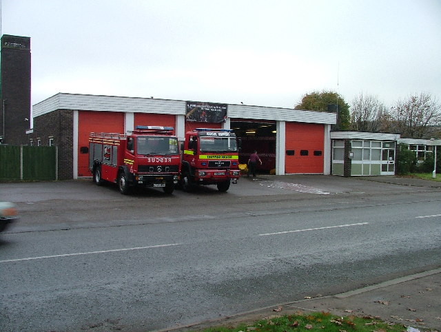
Image: © Robin Hall Taken: 23 Nov 2005
Not busy today. may it stay that way.
Images are licensed for reuse under creativecommons.org/licenses/by-sa/2.0
Image Location
Latitude
51.767273
Longitude
-0.231976