Nottingham Canal Nature Reserve
Introduction
The photograph on this page of Nottingham Canal Nature Reserve by Kate Jewell as part of the Geograph project.
The Geograph project started in 2005 with the aim of publishing, organising and preserving representative images for every square kilometre of Great Britain, Ireland and the Isle of Man.

There are currently over 7.5m images from over 14,400 individuals and you can help contribute to the project by visiting https://www.geograph.org.uk
Nottingham Canal Nature Reserve
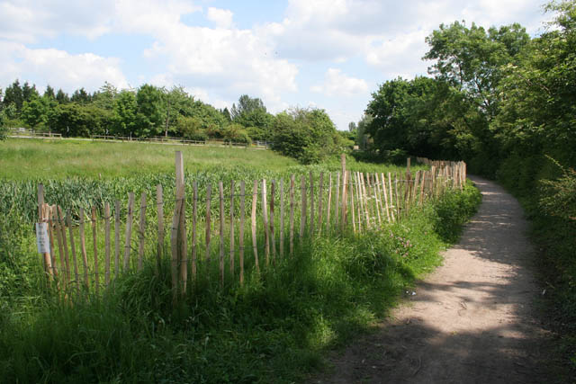
Image: © Kate Jewell Taken: 5 Jun 2008
The surfaced footpath follows the old towpath and the section of the canal just north west of the Newmanleys Road bridge has been filled in to provide a boggy area. The busy A610 is just beyond the trees on the left.
Images are licensed for reuse under creativecommons.org/licenses/by-sa/2.0
Image Location
Latitude
53.00661
Longitude
-1.309812