Nottingham Canal Nature Reserve
Introduction
The photograph on this page of Nottingham Canal Nature Reserve by Kate Jewell as part of the Geograph project.
The Geograph project started in 2005 with the aim of publishing, organising and preserving representative images for every square kilometre of Great Britain, Ireland and the Isle of Man.

There are currently over 7.5m images from over 14,400 individuals and you can help contribute to the project by visiting https://www.geograph.org.uk
Nottingham Canal Nature Reserve
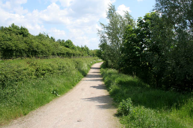
Image: © Kate Jewell Taken: 5 Jun 2008
East of the Newmanleys Road bridge the footpath/cycleway is built over the actual course of the canal. The section between here and Awsworth has been filled in and provides a very different habitat for wildlife compared to the water filled sections.
Images are licensed for reuse under creativecommons.org/licenses/by-sa/2.0
Image Location
Latitude
53.006152
Longitude
-1.308329