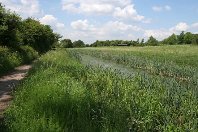
Nottingham Canal
Introduction
The photograph on this page of Nottingham Canal by Kate Jewell as part of the Geograph project.
The Geograph project started in 2005 with the aim of publishing, organising and preserving representative images for every square kilometre of Great Britain, Ireland and the Isle of Man.
There are currently over 7.5m images from over 14,400 individuals and you can help contribute to the project by visiting https://www.geograph.org.uk

Image: © Kate Jewell Taken: 5 Jun 2008
This canal fell into disuse in the 1930s following the rise of rail transport. The success of the Erewash Canal, only about 100 yards to the west, also contributed to its demise. It is now a Nature Reserve managed by Broxtowe Borough Council, which stretches from Langley Mill on the Nottinghamshire/Derbyshire border to Wollaton in Nottingham.

