Farmland on side of Hope Mountain.
Introduction
The photograph on this page of Farmland on side of Hope Mountain. by David Quinn as part of the Geograph project.
The Geograph project started in 2005 with the aim of publishing, organising and preserving representative images for every square kilometre of Great Britain, Ireland and the Isle of Man.

There are currently over 7.5m images from over 14,400 individuals and you can help contribute to the project by visiting https://www.geograph.org.uk
Farmland on side of Hope Mountain.
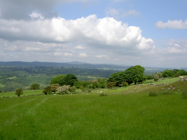
Image: © David Quinn Taken: 6 Jun 2008
The land which the footpath goes through has lots of small, crumbling walls that can be walked over. There is a bridleway at the trees and Moel Famau is visible in the background.
Images are licensed for reuse under creativecommons.org/licenses/by-sa/2.0
Image Location
Latitude
53.11042
Longitude
-3.068978