The A40(T) Gloucester to the M5 and Cheltenham
Introduction
The photograph on this page of The A40(T) Gloucester to the M5 and Cheltenham by Bob Embleton as part of the Geograph project.
The Geograph project started in 2005 with the aim of publishing, organising and preserving representative images for every square kilometre of Great Britain, Ireland and the Isle of Man.

There are currently over 7.5m images from over 14,400 individuals and you can help contribute to the project by visiting https://www.geograph.org.uk
The A40(T) Gloucester to the M5 and Cheltenham
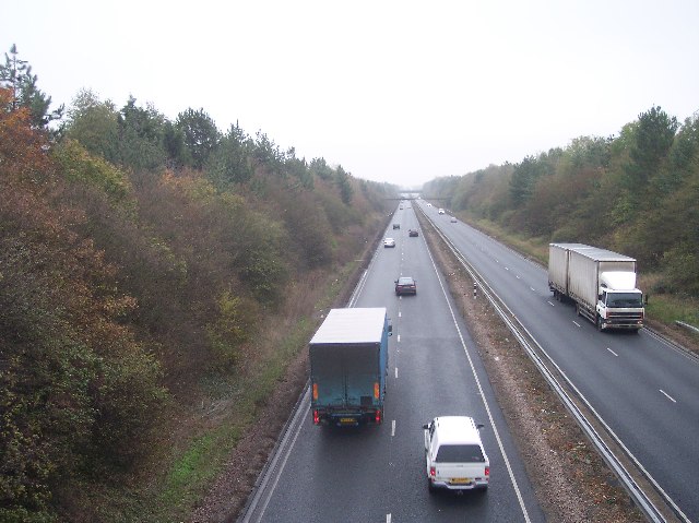
Image: © Bob Embleton Taken: 23 Nov 2005
Fast and busy routeway linking the city of Gloucester and the equally sized town of Cheltenham. Taken from the bridge at Pirton Court looking ENE towards the M5 and Cheltenham.
Images are licensed for reuse under creativecommons.org/licenses/by-sa/2.0
Image Location
Latitude
51.882015
Longitude
-2.185911