Blackhouse Reservoir from the east, Soyland (Ripponden)
Introduction
The photograph on this page of Blackhouse Reservoir from the east, Soyland (Ripponden) by Humphrey Bolton as part of the Geograph project.
The Geograph project started in 2005 with the aim of publishing, organising and preserving representative images for every square kilometre of Great Britain, Ireland and the Isle of Man.

There are currently over 7.5m images from over 14,400 individuals and you can help contribute to the project by visiting https://www.geograph.org.uk
Blackhouse Reservoir from the east, Soyland (Ripponden)
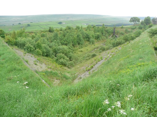
Image: © Humphrey Bolton Taken: 5 Jun 2008
The reservoir was supplied by two springs only. It held about five and a half million gallons when full supplying untreated water to Ripponden and a small part of Sowerby Bridge. The two springs were diverted and piped into nearby Baitings Reservoir when this reservoir was abandoned.
Images are licensed for reuse under creativecommons.org/licenses/by-sa/2.0
Image Location
Latitude
53.670174
Longitude
-1.978772