Lipson Hill
Introduction
The photograph on this page of Lipson Hill by Jo Kenny as part of the Geograph project.
The Geograph project started in 2005 with the aim of publishing, organising and preserving representative images for every square kilometre of Great Britain, Ireland and the Isle of Man.

There are currently over 7.5m images from over 14,400 individuals and you can help contribute to the project by visiting https://www.geograph.org.uk
Lipson Hill
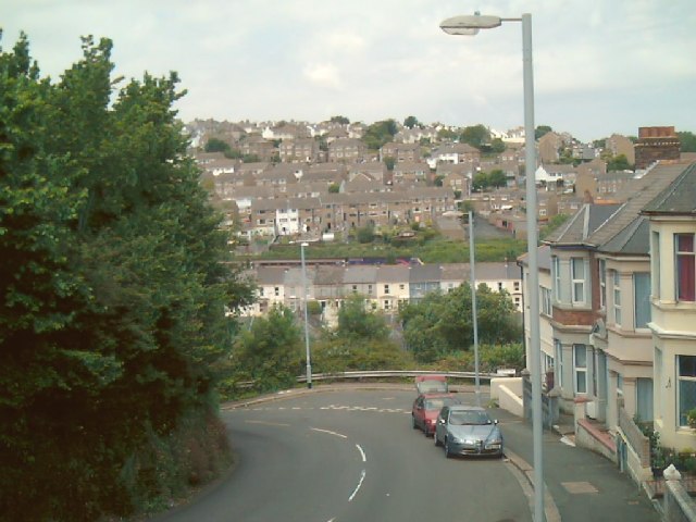
Image: © Jo Kenny Taken: 10 Aug 2005
From Lipson Vale below (then part of the River Plym) to Freedom Fields at the top, this hill is reputed to be part of the battlefield in December 1642, when the Royalists failed to take the town. The Penzance/Paddington railway line runs parallel to the Vale with Mannamead in the background.
Images are licensed for reuse under creativecommons.org/licenses/by-sa/2.0
Image Location


Leaflet Map data © OpenStreetMap
Latitude
50.380087
Longitude
-4.118104