Footpath alongside Berry Hill Farm
Introduction
The photograph on this page of Footpath alongside Berry Hill Farm by Natasha Ceridwen de Chroustchoff as part of the Geograph project.
The Geograph project started in 2005 with the aim of publishing, organising and preserving representative images for every square kilometre of Great Britain, Ireland and the Isle of Man.

There are currently over 7.5m images from over 14,400 individuals and you can help contribute to the project by visiting https://www.geograph.org.uk
Footpath alongside Berry Hill Farm
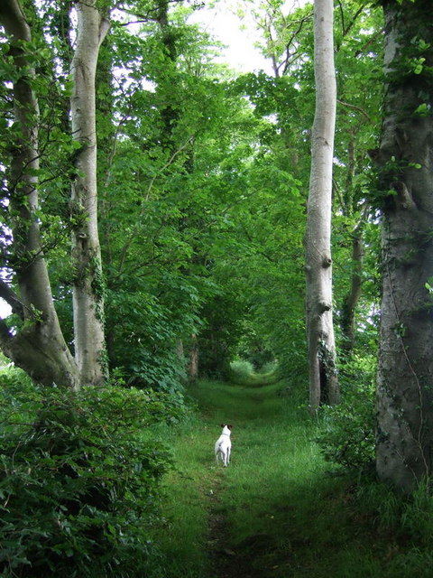
Image: © Natasha Ceridwen de Chroustchoff Taken: 5 Jun 2008
An avenue of mainly beech and sycamore leads from the valley of the Afon Nyfer to the road at Berry Hill.
Images are licensed for reuse under creativecommons.org/licenses/by-sa/2.0
Image Location


Leaflet Map data © OpenStreetMap
Latitude
52.028104
Longitude
-4.817183