Approaching the eastern end of Lon Towyn Capel
Introduction
The photograph on this page of Approaching the eastern end of Lon Towyn Capel by Eric Jones as part of the Geograph project.
The Geograph project started in 2005 with the aim of publishing, organising and preserving representative images for every square kilometre of Great Britain, Ireland and the Isle of Man.

There are currently over 7.5m images from over 14,400 individuals and you can help contribute to the project by visiting https://www.geograph.org.uk
Approaching the eastern end of Lon Towyn Capel
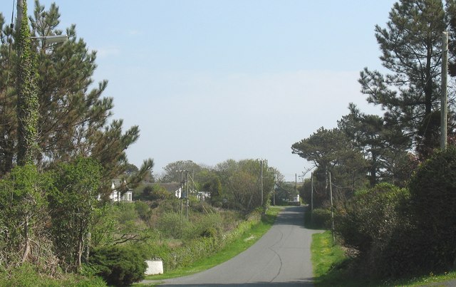
Image: © Eric Jones Taken: 7 May 2008
The public highway turns sharply north towards the town of Holyhead at the bend in the background. The lane marking the continuation of Lon Towyn Capel is a private road which extends to the Anglesey Aluminium Works.
Images are licensed for reuse under creativecommons.org/licenses/by-sa/2.0
Image Location


Leaflet Map data © OpenStreetMap
Latitude
53.284538
Longitude
-4.608124