Micheldever Primary School
Introduction
The photograph on this page of Micheldever Primary School by Rosemary Oakeshott as part of the Geograph project.
The Geograph project started in 2005 with the aim of publishing, organising and preserving representative images for every square kilometre of Great Britain, Ireland and the Isle of Man.

There are currently over 7.5m images from over 14,400 individuals and you can help contribute to the project by visiting https://www.geograph.org.uk
Micheldever Primary School
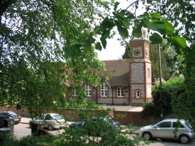
Image: © Rosemary Oakeshott Taken: 14 May 2008
The Church of England aided primary was built in 1845.
Images are licensed for reuse under creativecommons.org/licenses/by-sa/2.0
Image Location


Leaflet Map data © OpenStreetMap
Latitude
51.149222
Longitude
-1.266812