Toddlehills Farm - old steading
Introduction
The photograph on this page of Toddlehills Farm - old steading by Ken Fitlike as part of the Geograph project.
The Geograph project started in 2005 with the aim of publishing, organising and preserving representative images for every square kilometre of Great Britain, Ireland and the Isle of Man.

There are currently over 7.5m images from over 14,400 individuals and you can help contribute to the project by visiting https://www.geograph.org.uk
Toddlehills Farm - old steading
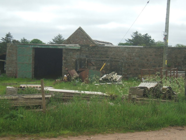
Image: © Ken Fitlike Taken: 4 Jun 2007
This farm is situated in the very top-right corner of the grid square and the Geographer has to stand on the line itself to get a shot uploaded.
Images are licensed for reuse under creativecommons.org/licenses/by-sa/2.0
Image Location
Latitude
57.494539
Longitude
-1.88554